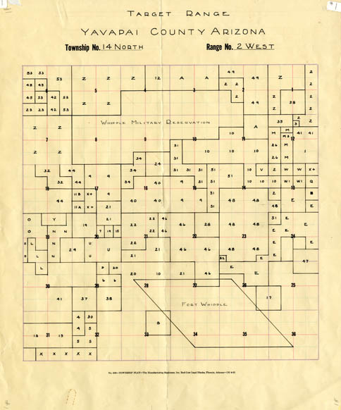
Map 1 -- Target Range Yavapai County Arizona
Detail
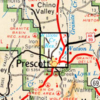
Location
Map 1 -- Target Range Yavapai County Arizona |
Detail |
|
|
|
|
Location |
|
|
|
Order |
|
| SCALE | 31680 | DATE | |
|---|---|---|---|
| AUTHOR | PUBLISHER | ||
| WIDTH X HEIGHT | 14 x 17 in. | FORMAT | Drawn on township legal form |
| PIXELS | 4150 x 4992 | RESOLUTION | 300 dpi |
| DIGITAL FILE | map0001.tif | SIZE & COLOR | 59 Mb RGB |
| ACCESSION NO. | CALL NO. | Map #1 | |
| LOCATION |
Consists of divisions within Township 14 North, Range 2 West.
Includes the target range of the Whipple Military Reservation and Fort Whipple
Same area is covered in 1871 by Map #274 and in 1876
by Map #276.
Museum | Archives | Maps |
|