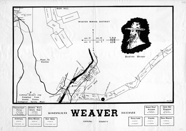
Map 102 -- Historical Weaver
Detail
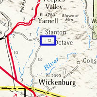
Location
Map 102 -- Historical Weaver |
Detail |
|
|
|
|
Location |
|
|
|
|
| SCALE | 4800 | DATE | 1966 |
|---|---|---|---|
| AUTHOR | Robert Bruce Fay | PUBLISHER | Robert Bruce Fay |
| WIDTH X HEIGHT | 42 x 30 | FORMAT | |
| PIXELS | 12528 x 8856 | RESOLUTION | 300 dpi |
| DIGITAL FILE | map0102.tif | SIZE & COLOR | 106 Mb grayscale |
| ACCESSION NO. | CALL NO. | Map #102 | |
| LOCATION |
|
Compiled from USGS maps of Weaver mining district. Shows mining claims: Antelope, Arizona, Clinton, Coyote, Dasy, Deep Digins, Diagonal, Dun Billy, Gold Bar, Gold King, Golden Mountainside, Golden Rod, Grey Devell, Helen Morris, Last Chance, Lilian, Mamie, Mountaintop, New Era, New Weaver, Onest Deal, Thunderbolt, Uncle Sam, Upton, Verno. |
Museum | Archives | Maps |
|