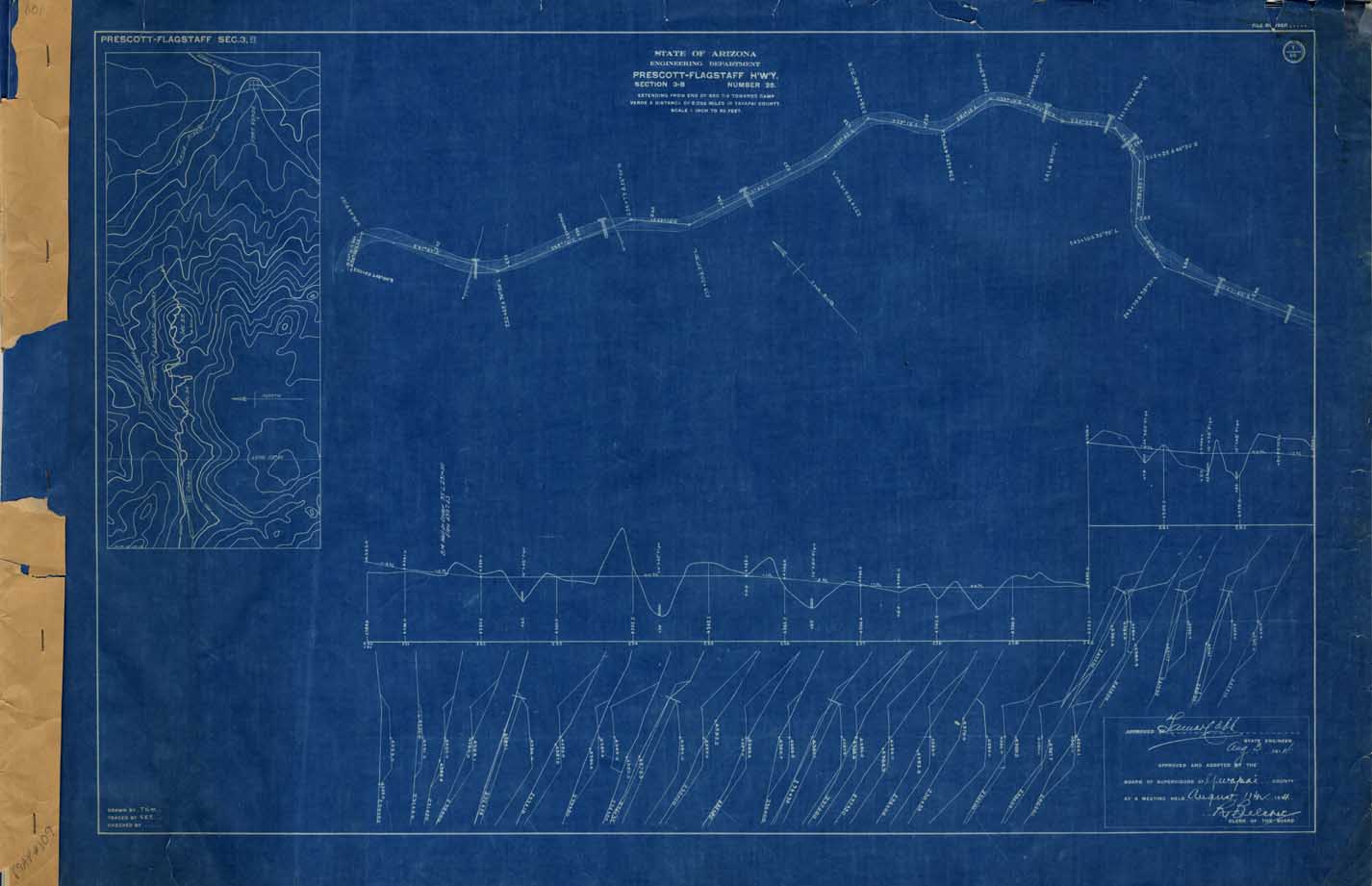
Map 109 -- Prescott-Flagstaff Highway, Section 3-B
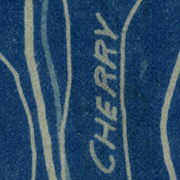
Detail
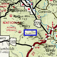
Location
Map 109 -- Prescott-Flagstaff Highway, Section 3-B |
Detail |
|
|
|
|
Location |
|
|
|
Order |
| SCALE | 720 | DATE | 1914 |
|---|---|---|---|
| AUTHOR | PUBLISHER | State of Arizona, Engineering | |
| WIDTH X HEIGHT | 36 x 24 in. x 14 sheets | FORMAT | blueprints |
| PIXELS | 10696 x 6910, sheet 1 only | RESOLUTION | 300 dpi |
| DIGITAL FILE | map0109.01.tif | SIZE & COLOR | 112 Mb RGB |
| ACCESSION NO. | CALL NO. | Map #109 | |
| LOCATION |
|
In 1914 the dirt road to Flagstaff went via Cherry, and this set of blueprints covers just over three miles east from Cherry, with location map, plan, elevation and grading profiles. |
Museum | Archives | Maps |
|