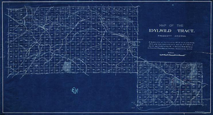
Map 110 - Idylwild Tract
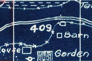
Detail
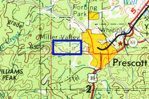
Location
Map 110 - Idylwild Tract |
|
|
|
Detail |
Location |
|
|
Order |
|
| SCALE | 3600 | DATE | 1909 |
|---|---|---|---|
| AUTHOR | PUBLISHER | Latimer and Shotwell | |
| WIDTH X HEIGHT | 29 x 16 in. | FORMAT | blueprint |
| PIXELS | 8556 x 4641 | RESOLUTION | 300 dpi |
| DIGITAL FILE | map0110.tif | SIZE & COLOR | 114 Mb RGB |
| ACCESSION NO. | CALL NO. | Map #110 | |
| LOCATION |
|
Tract map includes creeks, roads, houses, corrals, orchards, farm fields and types of crops. |
Museum | Archives | Maps |
|