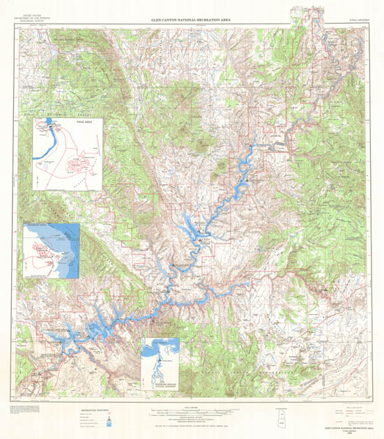
Map 117 -- Glen Canyon National Recreation Area
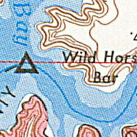
Detail
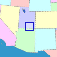
Location
Map 117 -- Glen Canyon National Recreation Area |
Detail |
|
|
|
|
Location |
|
|
|
Order |
| SCALE | 250000 | DATE | 1969 |
|---|---|---|---|
| AUTHOR | PUBLISHER | U.S. Geological Survey | |
| WIDTH X HEIGHT | 31 x 36 in. | FORMAT | color |
| PIXELS | 9176 x 10477 | RESOLUTION | 300 dpi |
| DIGITAL FILE | map0117.tif | SIZE & COLOR | 275 Mb RGB |
| ACCESSION NO. | CALL NO. | Map #117 | |
| LOCATION |
|
Topographic map of Glen Canyon and surrounding area, with insets of Page, Wahweap and Rainbow Bridge. |
Museum | Archives | Maps |
|