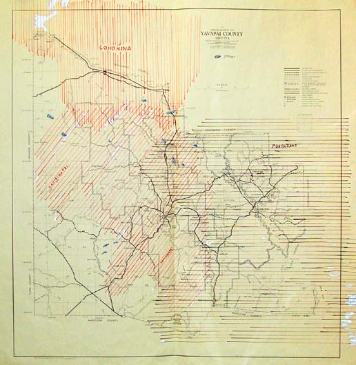
Map 120 -- Historic and Prehistoric Indigenous Populations of Yavapai County
Detail

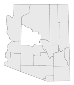
Location
Map 120 -- Historic and Prehistoric Indigenous Populations of Yavapai County |
Detail |
|
|
|
|
Location |
|
|
|
Order |
| SCALE | 253440 | DATE | 1978+ |
|---|---|---|---|
| AUTHOR | PUBLISHER | ||
| WIDTH X HEIGHT | 35 x 37 in. | FORMAT | color added |
| PIXELS | 10188 x 10765 | RESOLUTION | 300 dpi |
| DIGITAL FILE | map0120.tif | SIZE & COLOR | 314 Mb RGB |
| ACCESSION NO. | CALL NO. | Map #120 | |
| LOCATION |
|
Yavapai County base map with annotations showing areas occupied by Cohonina, Hakiachapai and Puebloan populations. |
Museum | Archives | Maps |
|