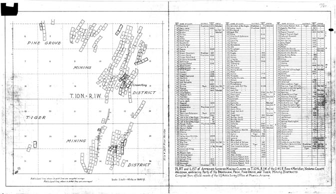
Map 13 -- Mining Claims, Crown King area
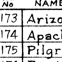
Detail
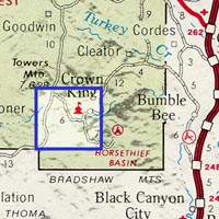
Location
Map 13 -- Mining Claims, Crown King area |
Detail |
|
|
|
|
Location |
|
|
|
Order |
| SCALE | 31680 | DATE | 1928 |
|---|---|---|---|
| AUTHOR | PUBLISHER | US Public Survey Office | |
| WIDTH X HEIGHT | 27 x 15 in. | FORMAT | |
| PIXELS | 8072 x 4671 | RESOLUTION | 300 dpi |
| DIGITAL FILE | map0013.tif | SIZE & COLOR | 36 Mb grayscale |
| ACCESSION NO. | CALL NO. | Map #13 | |
| LOCATION |
|
Full title: Plat and List of Approved, Surveyed Mining Claims T10N, R1W of the Gila & Salt River Base and Meridian, Yavapai County, Arizona. Table lists mining claims numbered on map, with survey number. See alphabetic listing. Mines are in Pine Grove, Tiger, Bradshaw and Peck Mining Districts. |
Museum | Archives | Maps |
|