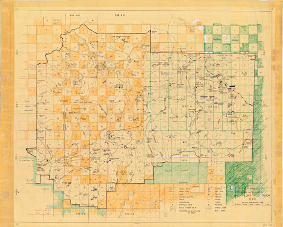
Map 145 -- Baca Float No. 5 Ranch ORO
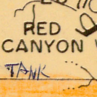
Detail
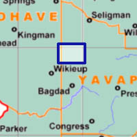
Location
Map 145 -- Baca Float No. 5 Ranch ORO |
Detail |
|
|
|
|
Location |
|
|
|
Order |
| SCALE | 63360 | DATE | 1970 |
|---|---|---|---|
| AUTHOR | PUBLISHER | Western Farm Management | |
| WIDTH X HEIGHT | 32 x 26 in. | FORMAT | |
| PIXELS | 9618 x 7716 | RESOLUTION | 300 dpi |
| DIGITAL FILE | map0145.tif | SIZE & COLOR | 212 Mb RGB |
| ACCESSION NO. | CALL NO. | Map #145 | |
| LOCATION |
Includes surrounding lands. Hand-colored and annotated on a County base map.
Shows sections, roads, streams, land ownership, pastures, tanks, camps and springs.
Museum | Archives | Maps |
|