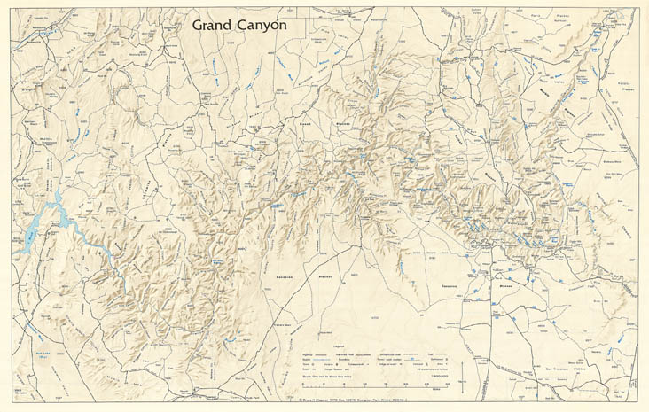
Map 150 - Grand Canyon
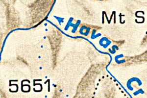
Detail
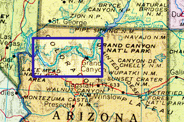
Location
Map 150 - Grand Canyon |
|
|
|
Detail |
Location |
|
|
Map is subject to copyright and cannot be ordered.
|
|
| SCALE | 300000 | DATE | 1972 |
|---|---|---|---|
| AUTHOR | PUBLISHER | Bruce H. Wegener | |
| WIDTH X HEIGHT | 33 x 21 in. | FORMAT | color |
| PIXELS | 9985 x 6344 | RESOLUTION | 300 dpi |
| DIGITAL FILE | map0150.tif | SIZE & COLOR | 181 Mb RGB |
| ACCESSION NO. | CALL NO. | Map #150 | |
| LOCATION |
|
Shows shaded relief and spot heights, mountain and Canyon features, rapids, streams, roads and Forest route numbers |
Museum | Archives | Maps |
|