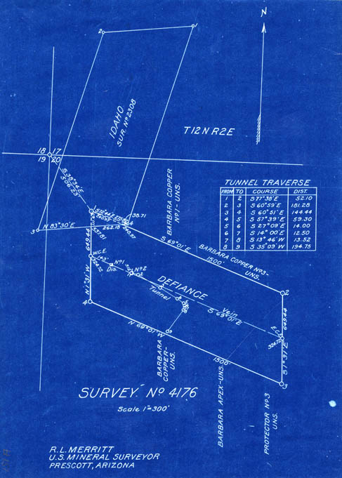
Map 151 -- Defiance mine plat
Copper Mtn, Mayer
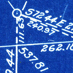
Detail
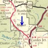
Location
Map 151 -- Defiance mine platCopper Mtn, Mayer |
Detail |
|
|
|
|
Location |
|
|
|
Order |
| SCALE | 3600 | DATE | |
|---|---|---|---|
| AUTHOR | Merritt, R.L. | PUBLISHER | |
| WIDTH X HEIGHT | 8 x 11 in. | FORMAT | Blueprint |
| PIXELS | 2437 x 3403 | RESOLUTION | 300 dpi |
| DIGITAL FILE | map0151.tif | SIZE & COLOR | 24 Mb RGB |
| ACCESSION NO. | CALL NO. | Map #151 | |
| LOCATION | Small maps box |
Shows mine plats for Defiance and Idaho mines.
Located in Sections 17 and 20, T12N, R2E at Copper Mountain east of Mayer.
Coordinates W1121040 N0342440 Mayer quad.
Museum | Archives | Maps |
|