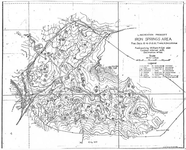
Map 155 -- Iron Springs Area, Arizona
Detail

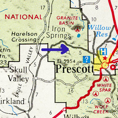
Location
Map 155 -- Iron Springs Area, Arizona |
Detail |
|
|
|
|
Location |
|
|
|
Order |
| SCALE | 2000 | DATE | 1920 |
|---|---|---|---|
| AUTHOR | Gill, William H. | PUBLISHER | L. Recreation Prescott |
| WIDTH X HEIGHT | 20 x 16 in. | FORMAT | photocopy |
| PIXELS | 6055 x 4853 | RESOLUTION | 300 dpi |
| DIGITAL FILE | map0155.tif | SIZE & COLOR | 28 Mb grayscale |
| ACCESSION NO. | CALL NO. | Map #155 | |
| LOCATION |
Shows all buildings and facilities in the Iron Springs community.
Contour interval 10'.
Museum | Archives | Maps |
|