Map 156 - Map of Yavapai County with civil defense data
Detail
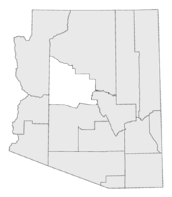
Location

Map 156 - Map of Yavapai County with civil defense data |
|
|
|
Detail |
Location |
|
|
Order |
|
| SCALE | 330000 | DATE | 1962 |
|---|---|---|---|
| AUTHOR | PUBLISHER | National Map Corp. | |
| WIDTH X HEIGHT | 35 x 23 in. | FORMAT | |
| PIXELS | 10353 x 6776 | RESOLUTION | 300 dpi |
| DIGITAL FILE | map0156.tif | SIZE & COLOR | 67 Mb grayscale |
| ACCESSION NO. | CALL NO. | Map #156 | |
| LOCATION |
|
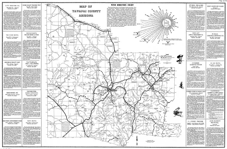
Map of Prescott on reverse (below), which includes a fallout chart from the Los Angeles target area. A wind direction chart is on the front. Map is sponsored by advertisers of the period. |
.jpg)
| SCALE | DATE | 1962 | |
|---|---|---|---|
| AUTHOR | PUBLISHER | National Map Corp. | |
| WIDTH X HEIGHT | 35 x 23 in. | FORMAT | |
| PIXELS | 10377 x 6773 | RESOLUTION | 300 dpi |
| DIGITAL FILE | map0156(reverse).tif | SIZE & COLOR | 67 Mb grayscale |
| ACCESSION NO. | CALL NO. | Map #156 |
Museum | Archives | Maps |
|