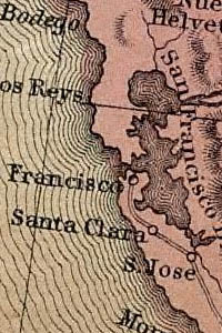
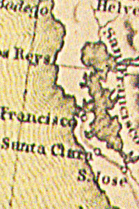
Map 158 -- Texas Oregon and California with the regions adjoining
Detail
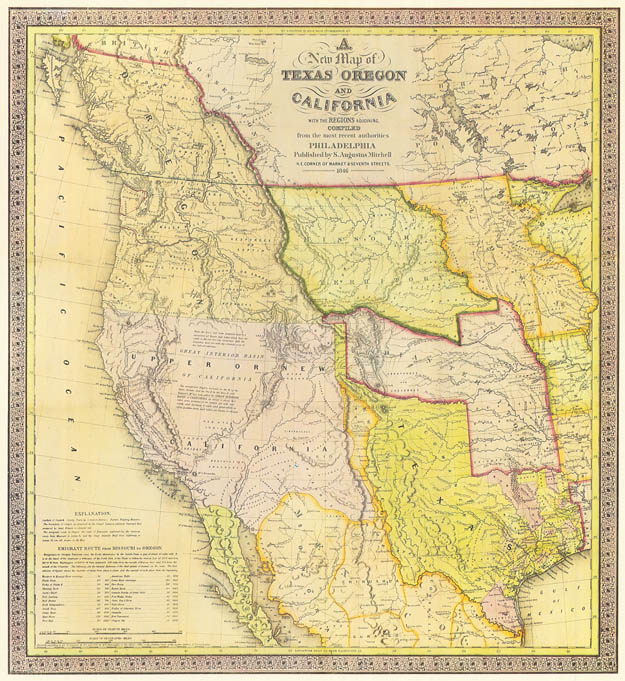
Map 158 -- Texas Oregon and California with the regions adjoining |
Detail |
|
|
|
|
Order |
| SCALE | 6652000 | DATE | 1846 |
|---|---|---|---|
| AUTHOR | Mitchell, S.A. | PUBLISHER | Mitchell, S.A. |
| WIDTH X HEIGHT | 23 x 27 in. | FORMAT | color copy |
| PIXELS | 6251 x 6812 | RESOLUTION | 300 dpi |
| DIGITAL FILE | map0158.tif | SIZE & COLOR | 122 Mb RGB |
| ACCESSION NO. | CALL NO. | Map #158 | |
| LOCATION |
|
Map showing territorial and national borders of 1846. Includes emigrant route from Missouri to Oregon. A higher-resolution digital image can be found in the David Rumsey Historical Map collection: |
Museum | Archives | Maps |
|