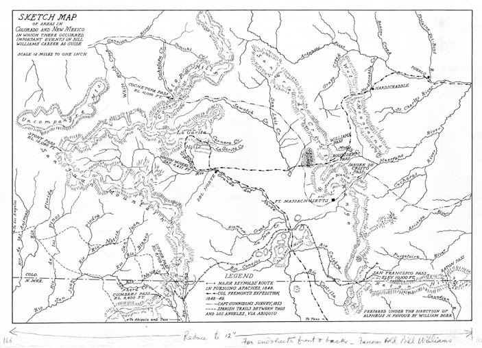
Map 166 - Sketch map of areas in Colorado and New Mexico in which there occurred important events in Bill Williams' career as guide (as published)
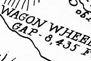
Detail
Location
Map 166 - Sketch map of areas in Colorado and New Mexico in which there occurred important events in Bill Williams' career as guide (as published) |
|
|
|
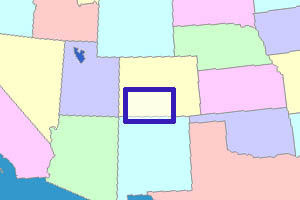
Detail |
Location |
|
|
Order |
|
| SCALE | 770000 | DATE | 1935 |
|---|---|---|---|
| AUTHOR | Bork, W. | PUBLISHER | |
| WIDTH X HEIGHT | 18 x 13 in. | FORMAT | |
| PIXELS | 5275 x 3813 | RESOLUTION | 300 dpi |
| DIGITAL FILE | map0166.tif | SIZE & COLOR | 19 Mb grayscale |
| ACCESSION NO. | CALL NO. | Map #166 | |
| LOCATION |
|
Published as endpapers in Old Bill Williams, Mountain Man by Alpheus H. Favour, University of Carolina Press, 1936. SHM call no. 92 WIL. Scale reduced in book. Shows rivers, mountains, passes and expedition routes 1848-49. See also draft version Map #165 |
Museum | Archives | Maps |
|