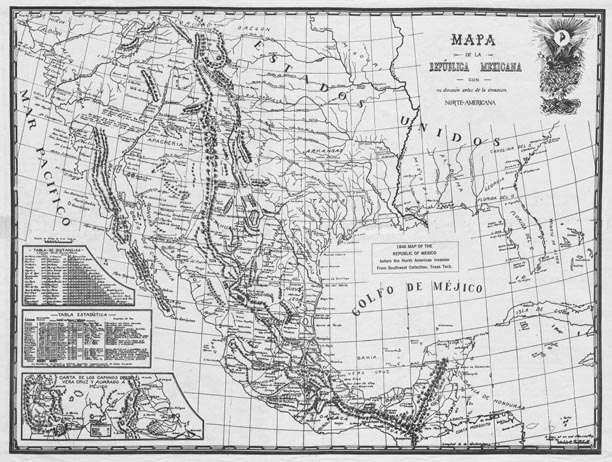
Map 17 -- Mapa de la Republica Mexicana
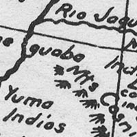
Detail
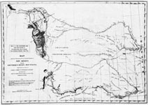
Reverse
Map 17 -- Mapa de la Republica Mexicana |
Detail |
|
|
|
|
Reverse |
|
|
|
Order |
| SCALE | 9000000 | DATE | 1846 |
|---|---|---|---|
| AUTHOR | PUBLISHER | Texas Tech | |
| WIDTH X HEIGHT | 21 x 16 in. | FORMAT | printed both sides |
| PIXELS |
6120 x 4619 6348 x 4531 |
RESOLUTION | 300 dpi |
| DIGITAL FILE | map0017-front.tif map0017-reverse.tif |
SIZE & COLOR | 27 Mb grayscale |
| ACCESSION NO. | CALL NO. | Map #17 | |
| LOCATION |
|
"1846 MAP OF THE REPUBLIC OF MEXICO before the North American invasion Includes three insets: "Tabla de distancias" "Tabla estadistica" "Carta de los caminos desde Vera Cruz y Alvarado a Mejico" Reverse is an 1845 U.S. War Department map in English "Showing the Route pursued by the Exploring Expedition to New Mexico and the Southern Rocky Mountains, made under the orders of Captain J.C. Fremont." It covers an area from the Missouri River to Taos and Santa Fe. |
Museum | Archives | Maps |
|