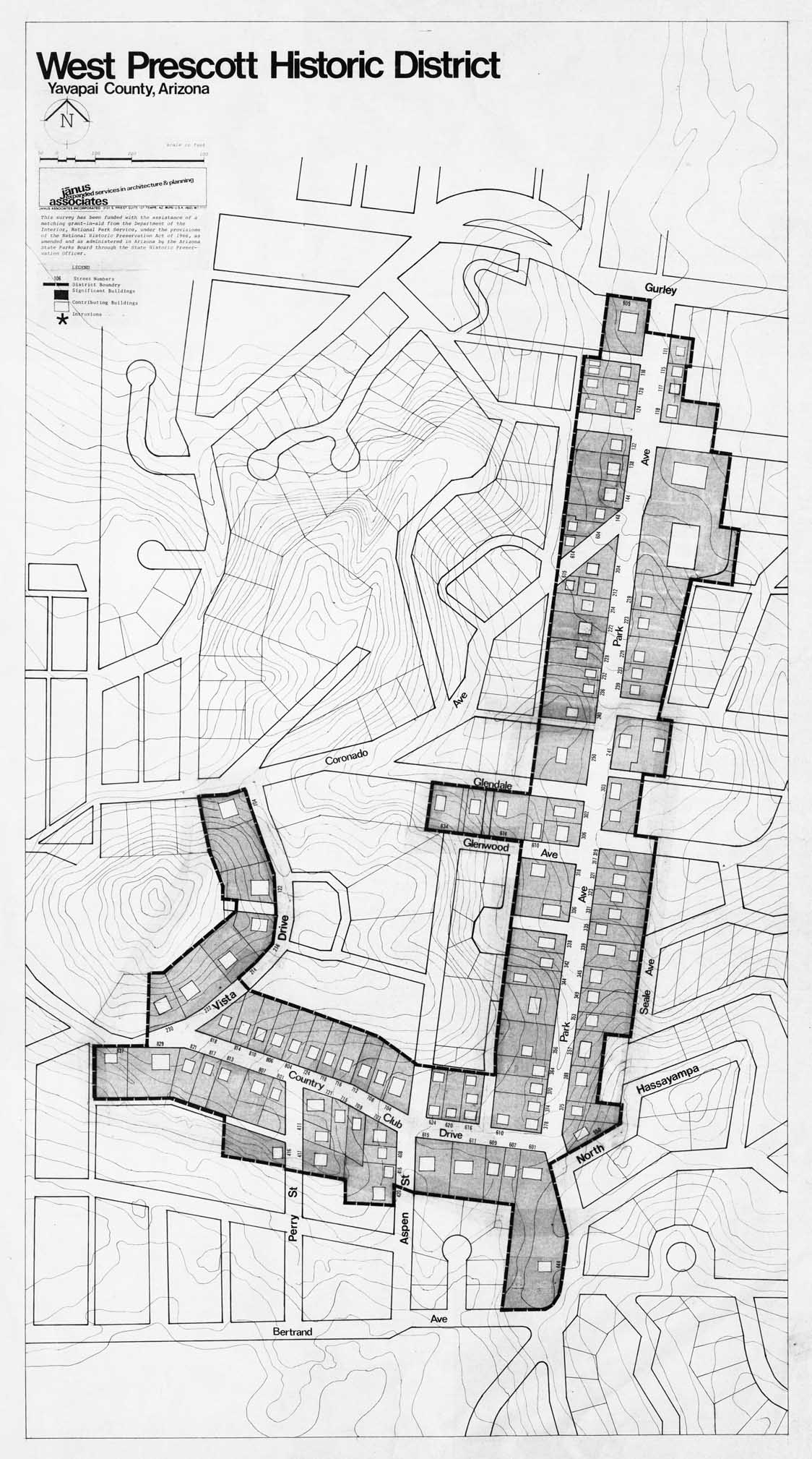
Map 172 -- West Prescott Historic District
Detail
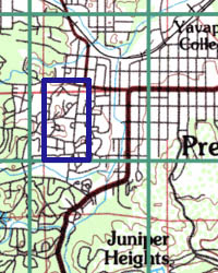
Location
Map 172 -- West Prescott Historic District |
Detail |
|
|
|
|
Location |
|
|
|
Order |
| SCALE | 1200 | DATE | c1982 |
|---|---|---|---|
| AUTHOR | PUBLISHER | Janus Associates | |
| WIDTH X HEIGHT | 24 x 42 in. | FORMAT | |
| PIXELS | 6745 x 12110 | RESOLUTION | 300 dpi |
| DIGITAL FILE | map0172.tif | SIZE & COLOR | 78 Mb grayscale |
| ACCESSION NO. | CALL NO. | Map #172 | |
| LOCATION |
Building survey showing historic district boundary.
Shows streets and buildings with street numbers.
Funded by National and State Parks.
Museum | Archives | Maps |
|