Map 178 -- America's Federal Lands
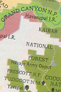
Detail
Map 178 -- America's Federal Lands |
Detail |
|
|
|
|
Map is subject to copyright and cannot be ordered.
|
| SCALE | 5889000 | DATE | 1982 |
|---|---|---|---|
| AUTHOR | PUBLISHER | National Geographic | |
| WIDTH X HEIGHT | 42 x 29 in. | FORMAT | color |
| PIXELS | 12728 x 8734 | RESOLUTION | 300 dpi |
| DIGITAL FILE | map0178.tif | SIZE & COLOR | 318 Mb RGB |
| ACCESSION NO. | CALL NO. | Map #178 | |
| LOCATION |
|
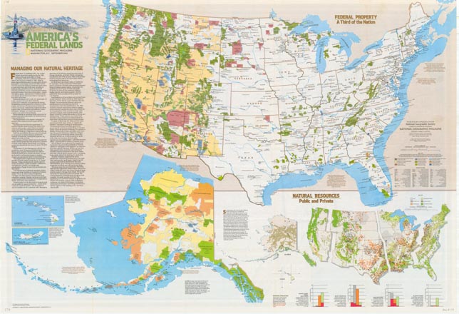
Color-coded federal lands including Indian reservations, mostly in the west. A smaller map of the U.S. shows natural resources, public and private. A larger general map of the U.S. is on reverse side.
|
Museum | Archives | Maps |
|