Map 181 -- Location of Placer Gold Deposits in Arizona
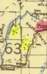
Detail
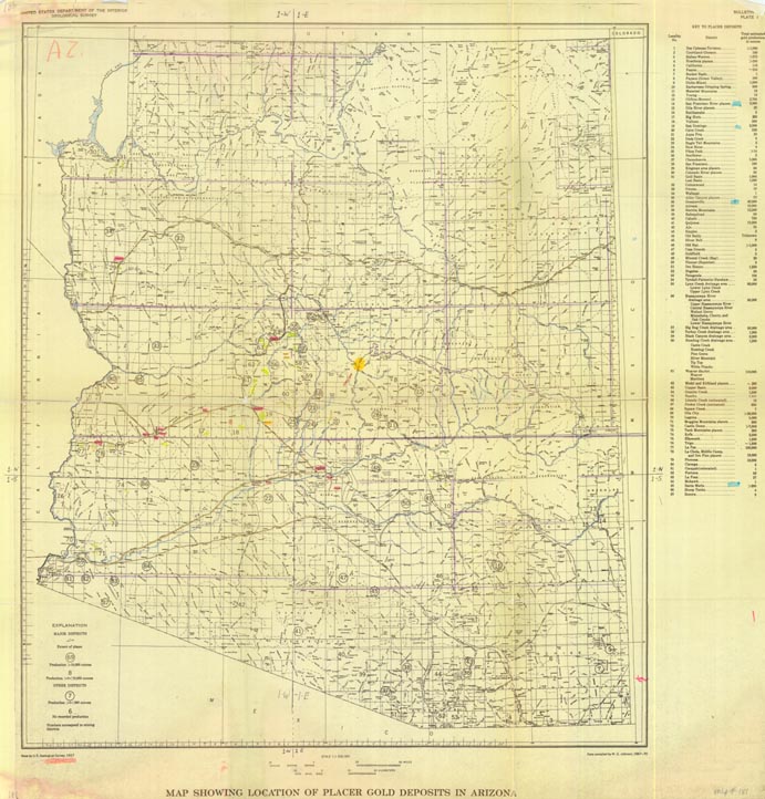
Map 181 -- Location of Placer Gold Deposits in Arizona |
Detail |
|
|
|
|
Order |
| SCALE | 1000000 | DATE | c.1971 |
|---|---|---|---|
| AUTHOR | M.G. Johnson | PUBLISHER | U.S. Geological Survey |
| WIDTH X HEIGHT | 28 x 29 in. | FORMAT | color added |
| PIXELS | 8295x 8658 | RESOLUTION | 300 dpi |
| DIGITAL FILE | map0181.tif | SIZE & COLOR | 206 Mb RGB |
| ACCESSION NO. | CALL NO. | Map #181 | |
| LOCATION |
|
Includes numbered key to 87 mining districts with estimated total gold production.
|
Museum | Archives | Maps |
|