Map 19 -- Surveyed Route for Eight Inch Pipeline
Detail
Location
Map 19 -- Surveyed Route for Eight Inch Pipeline |
Detail |
|
|
|
|
Location |
|
|
|
Order |
|
| SCALE | 24000 | DATE | 1901 |
|---|---|---|---|
| AUTHOR | Follett, W. W. Engineer-in-charge. | PUBLISHER | City of Prescott |
| WIDTH X HEIGHT | 16 x 31 in. x 2 sheets | FORMAT | |
| PIXELS | 4761 x 17111 in one file | RESOLUTION | 300 dpi |
| DIGITAL FILE | map0019.tif | SIZE & COLOR | 233 Mb RGB |
| ACCESSION NO. | CALL NO. | Map #19 | |
| LOCATION |
|
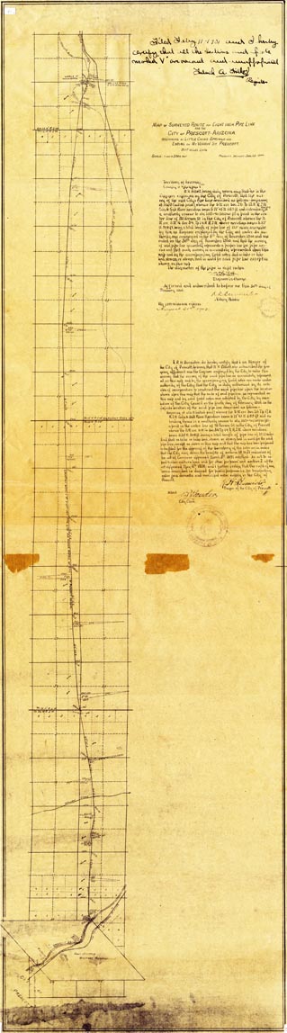
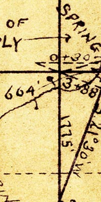
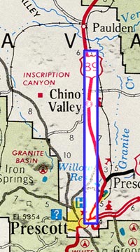
"Map of Surveyed Route for Eight Inch Pipeline for the City of Prescott, Arizona, beginning at Little Chino Springs and ending at Mt. Vernon St. Prescott, 19.27 miles long." Includes description and certification as a legal document by W.W. Follett, Engineer-in-charge, and R.H. Burmeister, Mayor of the City of Prescott. |
Museum | Archives | Maps |
|