Map 2 -- Childs-Irving Hydroelectric Project, Camp Verde, Arizona
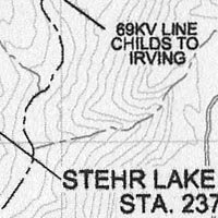
Detail


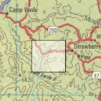
Location

Map 2 -- Childs-Irving Hydroelectric Project, Camp Verde, Arizona |
Detail |
 |
|
 |
|
Location |
|
 |
|
Order |
| SCALE | 83000 | DATE | 2004 |
|---|---|---|---|
| AUTHOR | Smithers, Phil | PUBLISHER | National Park Service |
| WIDTH X HEIGHT | 11 x 8.5 in. | FORMAT | Reduced photocopy |
| PIXELS | 2967 x 2041 | RESOLUTION | 300 dpi |
| DIGITAL FILE | map0002.tif | SIZE & COLOR | 5.8 Mb grayscale |
| ACCESSION NO. | CALL NO. | Map #2 | |
| LOCATION | Small maps box |
|
Historic American Engineering Record. Includes statement of significance. Part of Arizona Public Service engineering archive acquired by Sharlot Hall Museum in 2005 upon decommissioning of the project. |
Museum | Archives | Maps |
|