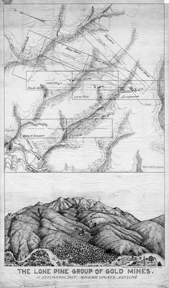
Map 20 -- The Lone Pine Group of Gold Mines
Detail
Location
Map 20 -- The Lone Pine Group of Gold Mines |
Detail |
|
|
|
|
Location |
|
|
|
Order |
|
| SCALE | 3600 | DATE | 1895 |
|---|---|---|---|
| AUTHOR | Baumann, Jules | PUBLISHER | |
| WIDTH X HEIGHT | 18 x 31 in. | FORMAT | |
| PIXELS | 5484 x 9318 | RESOLUTION | 300 dpi |
| DIGITAL FILE | map0020.tif | SIZE & COLOR | 49 Mb grayscale |
| ACCESSION NO. | CALL NO. | Map #20 | |
| LOCATION |
|
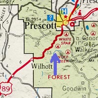
Shows mining claims in the Lone Pine Group in the Hassayampa Mining District: Black Oak, Blue Bird, Greyhound, Lone Pine, Parnell, Polar Star, Red Bird, Reindeer, Robert Emmet, White Hawk, plus the proposed Millsite, tramway and wagon road near the Hassayampa River. Location W1123000 N0342600 on the Wilhoit and Groom Creek topo quads
and trail map TS3W1. Includes landscape drawing below the map. |
Museum | Archives | Maps |
|