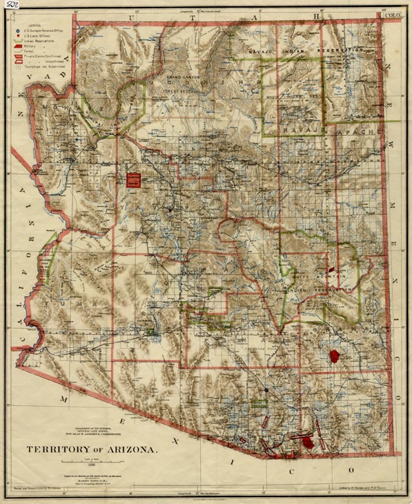
Map 205 -- Territory of Arizona
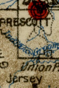
Detail
Map 205 -- Territory of Arizona |
Detail |
|
|
|
|
Order |
| SCALE | 1584000 | DATE | 1896 |
|---|---|---|---|
| AUTHOR | PUBLISHER | US Dept. of Interior | |
| WIDTH X HEIGHT | 17 x 21 in. | FORMAT | color |
| PIXELS | 10237 x 12516 | RESOLUTION | 600 dpi |
| DIGITAL FILE | map0205.tif | SIZE & COLOR | 367 Mb RGB |
| ACCESSION NO. | CALL NO. | Map #205 | |
| LOCATION |
Map includes Indian Reservations, railroads, county boundaries, rivers, roads and land grants.
Museum | Archives | Maps |
|