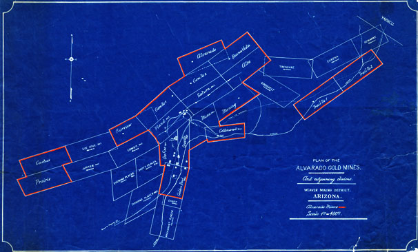
Map 22 -- Alvarado Gold Mines
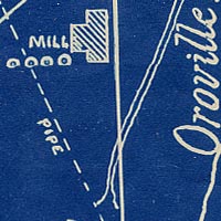
Detail
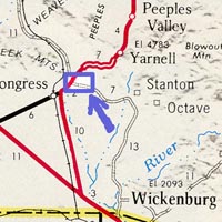
Location
Map 22 -- Alvarado Gold Mines |
Detail |
|
|
|
|
Location |
|
|
|
Order |
| SCALE | 4800 | DATE | |
|---|---|---|---|
| AUTHOR | PUBLISHER | ||
| WIDTH X HEIGHT | 32 x 20 in. | FORMAT | Blueprint, red markings. |
| PIXELS | 9673 x 5924 | RESOLUTION | 300 dpi |
| DIGITAL FILE | map0022.tif | SIZE & COLOR | 164 Mb RGB |
| ACCESSION NO. | CALL NO. | Map #22 | |
| LOCATION |
|
Full title: Plan of the Alvarado Gold Mines and Adjoining Claims, Weaver Mining District, Arizona. The Alvarado Mines are outlined in red: Alta, Alvarado, Buena Vista, Cactus, Cottonwood, Fairview, Gem No 1, Gem No 2, Golden Bowl, Mesa, Morning, Orofino, Oroville, Planet, Prairie, Saturn, Trail No 1, Trail No 2. Other mines shown: Comet, Diamond Placer, Eureka, Evening Placer, Jupiter, Remnant, Roosevelt, Scott Placer, Side Issue, Treasure. Location: W1124900 N0341040 on the Congress topo quad. |
Museum | Archives | Maps |
|