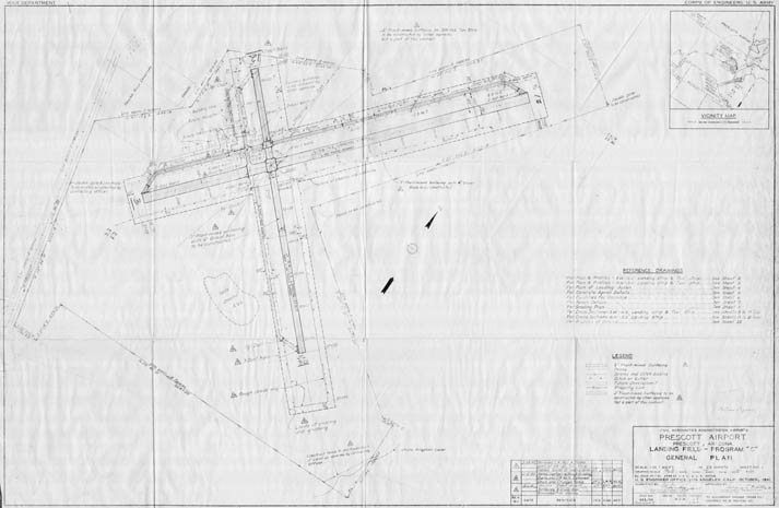
Map 255 -- Prescott Airport
Detail

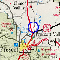
Location
Map 255 -- Prescott Airport |
Detail |
|
|
|
|
Location |
|
|
|
Order |
| SCALE | 3600 | DATE | 1941 |
|---|---|---|---|
| AUTHOR | PUBLISHER | U.S. Engineer Office | |
| WIDTH X HEIGHT | 42 x 27 in. | FORMAT | |
| PIXELS | 11876 x 7755 | RESOLUTION | 300 dpi |
| DIGITAL FILE | map0255.tif | SIZE & COLOR | 88 Mb grayscale |
| ACCESSION NO. | CALL NO. | Map #255 | |
| LOCATION |
Civil Aeronautics Administration General Plan drawing with revisions to 1942.
Shows existing and proposed runways, taxiways, buildings, drainage and fencing, and adjacent U.S. Route 89.
Museum | Archives | Maps |
|