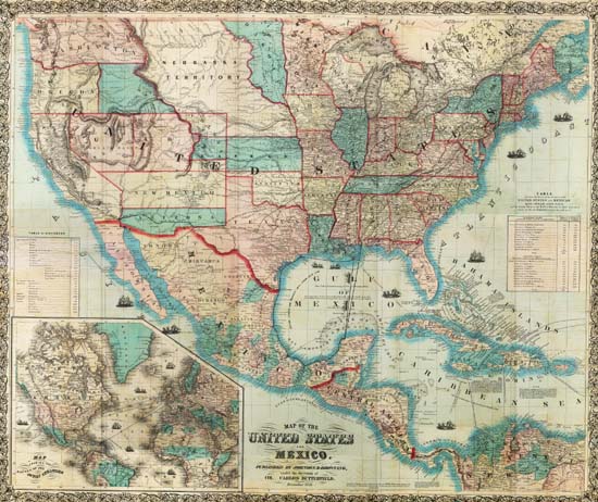
Map 257 -- Map of the United States and Mexico
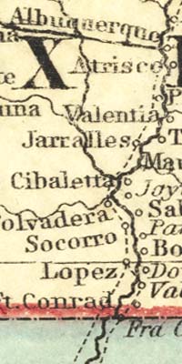
Detail
Map 257 -- Map of the United States and Mexico |
Detail |
|
|
|
|
Order |
| SCALE | 7000000 | DATE | 1859 |
|---|---|---|---|
| AUTHOR | PUBLISHER | Johnson and Browning | |
| WIDTH X HEIGHT | 40 x 33 in. | FORMAT | color, mounted on board |
| PIXELS | 11564 x 9707 | RESOLUTION | 300 dpi |
| DIGITAL FILE | map0257.tif | SIZE & COLOR | 321 Mb RGB |
| ACCESSION NO. | CALL NO. | Map #257 | |
| LOCATION |
Shows shipping routes and distances.
Includes ports, railroads, mail routes.
Shows transitional boundaries of Arizona and New Mexico.
Museum | Archives | Maps |
|