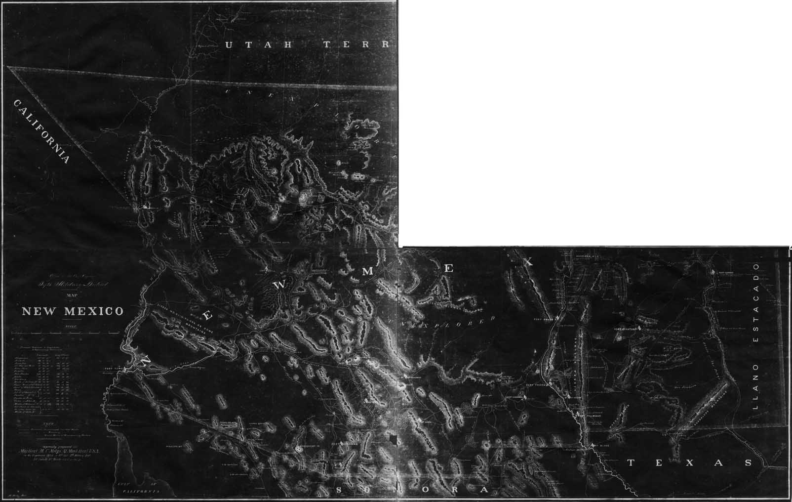
Map 269 - Map of New Mexico (3 of 4 sheets)
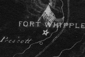
Detail
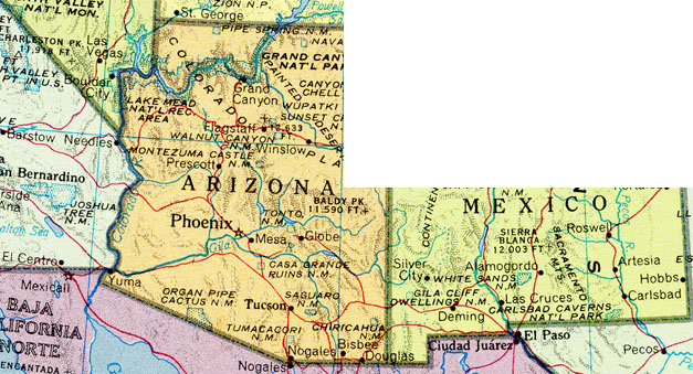
Mapped Area
Map 269 - Map of New Mexico (3 of 4 sheets) |
|
|
|
Detail |
Mapped Area |
|
|
Order |
|
| SCALE | 1250000 | DATE | c1865 |
|---|---|---|---|
| AUTHOR | H. Holtz | PUBLISHER | National Archives |
| WIDTH X HEIGHT | 23 x 15 in. x 3 sheets | FORMAT | photocopy |
| PIXELS | 12029 x 7621 | RESOLUTION | 300 dpi |
| DIGITAL FILE | map0269.tif 1 file | SIZE & COLOR | 87 Mb grayscale |
| ACCESSION NO. | CALL NO. | Map #269 | |
| LOCATION |
|
Map spans multiple dates. New Mexico boundary is c1855, while Fort Whipple and Prescott were not established until 1864. |
Museum | Archives | Maps |
|