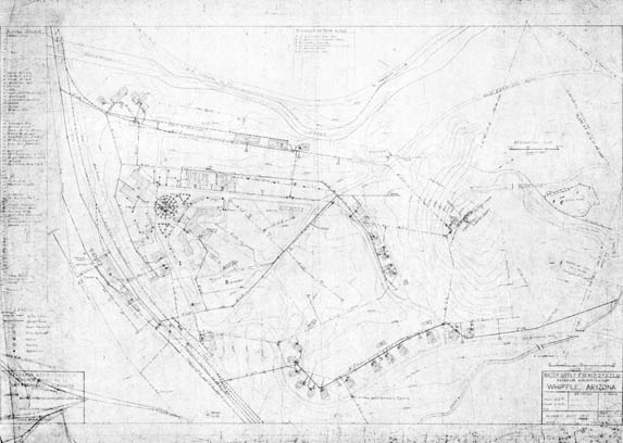
Map 273 -- Water Supply and Sewer System, Whipple, Arizona
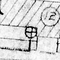
Detail
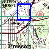
Location
Map 273 -- Water Supply and Sewer System, Whipple, Arizona |
Detail |
|
|
|
|
Location |
|
|
|
Order |
| SCALE | 1200 | DATE | c.1939 |
|---|---|---|---|
| AUTHOR | PUBLISHER | U.S. Veterans Administration | |
| WIDTH X HEIGHT | 39 x 29 in. | FORMAT | Blue line |
| PIXELS | 11470 x 8167 | RESOLUTION | 300 dpi |
| DIGITAL FILE | map0273.tif | SIZE & COLOR | 89 Mb grayscale |
| ACCESSION NO. | CALL NO. | Map #273 | |
| LOCATION |
Map orientation: east at top, with an overlay of reservation at 1:10560 rotated 120 degrees CCW.
Includes a numbered key to 109 buildings and legend of water and sewer lines, manholes, hydrants, valves, meters and sprinklers.
Museum | Archives | Maps |
|