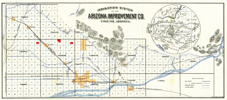
Map 30 -- Irrigation System of the Arizona Improvement Co.
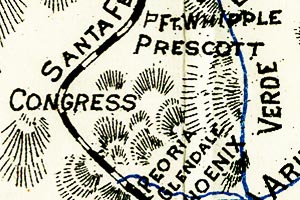
Detail
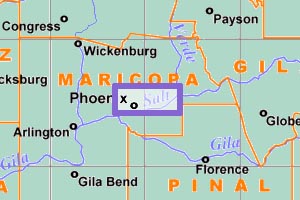
Location
Map 30 -- Irrigation System of the Arizona Improvement Co. |
|
|
|
Detail |
Location |
|
|
Order |
|
| SCALE | 102000 | DATE | 1902 |
|---|---|---|---|
| AUTHOR | PUBLISHER | S.D. Childs & Co. | |
| WIDTH X HEIGHT | 25 x 11 in | FORMAT | |
| PIXELS | 7447 x 3281 | RESOLUTION | 300 dpi |
| DIGITAL FILE | map0030.tif | SIZE & COLOR | 70 Mb RGB |
| ACCESSION NO. | CALL NO. | Map #30 | |
| LOCATION |
Shows canals, rivers, railroads and towns with township/range and sections.
Includes an inset map of Arizona (detail shown).
Museum | Archives | Maps |
|