Map 309 -- Territories of New Mexico and Utah
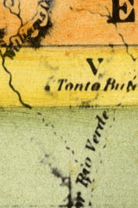
Detail
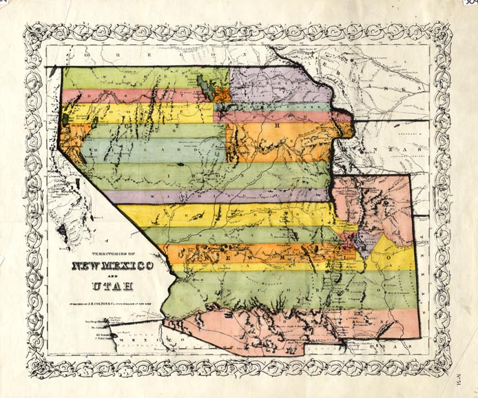
Map 309 -- Territories of New Mexico and Utah |
Detail |
|
|
|
|
Order |
| SCALE | 4550000 | DATE | 1855 |
|---|---|---|---|
| AUTHOR | PUBLISHER | J.H. Colton & Co. | |
| WIDTH X HEIGHT | 18 x 15 in. | FORMAT | color |
| PIXELS | 5208 x 4333 | RESOLUTION | 300 dpi |
| DIGITAL FILE | map0309.tif | SIZE & COLOR | 65 Mb RGB |
| ACCESSION NO. | 81.83 | CALL NO. | Map #309 |
| LOCATION |
Includes later Arizona and Nevada. Shows transitional boundaries and counties.
Museum | Archives | Maps |
|