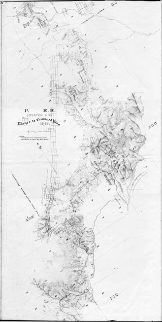
Map 316 -- P.&E.R.R. Mayer to Crowned King
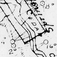
Detail
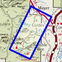
Location
Map 316 -- P.&E.R.R. Mayer to Crowned King |
Detail |
|
|
|
|
Location |
|
|
|
Order |
| SCALE | 24000 | DATE | 1900 |
|---|---|---|---|
| AUTHOR | PUBLISHER | ||
| WIDTH X HEIGHT | 21 x 41 in. | FORMAT | |
| PIXELS | 6164 x 12249 | RESOLUTION | 300 dpi |
| DIGITAL FILE | map0316.tif | SIZE & COLOR | 72 Mb grayscale |
| ACCESSION NO. | CALL NO. | Map #316 | |
| LOCATION |
Prescott & Eastern Railroad, proposed alignment from Mayer to Crown King.
See also Map #317, with name changed to Bradshaw Mountain Railroad and affidavit from 1904.
Museum | Archives | Maps |
|