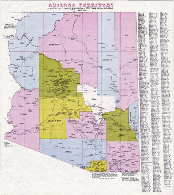
Map 32 -- Arizona Territory Post Offices
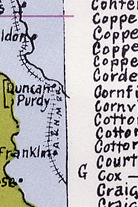
Detail
Map 32 -- Arizona Territory Post Offices |
Detail |
|
|
|
|
|
|
| SCALE | 1014000 | DATE | 1963 |
|---|---|---|---|
| AUTHOR | Cate, R.W. | PUBLISHER | Cate, R.W. |
| WIDTH X HEIGHT | 23 x 25 in. | FORMAT | |
| PIXELS | 6745 x 7655 | RESOLUTION | 300 dpi |
| DIGITAL FILE | map0032.tif | SIZE & COLOR | 148 Mb RGB |
| ACCESSION NO. | CALL NO. | Map #32 | |
| LOCATION |
"Arizona Territory showing post offices which were in existence during this period 1863-1912"
Includes name changes during this period.
Shows counties, railroads and major rivers.
Museum | Archives | Maps |
|