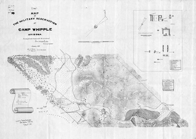
Map 323 -- Military Reservation at Camp Whipple
Detail
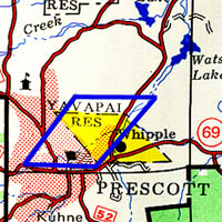
Location
Map 323 -- Military Reservation at Camp Whipple |
Detail |
|
|
|
|
Location |
|
|
|
Order |
| SCALE | 7920 | DATE | 1869 |
|---|---|---|---|
| AUTHOR | PUBLISHER | U.S. Army Corps of Engineers | |
| WIDTH X HEIGHT | 40 x 28 in. | FORMAT | |
| PIXELS | 11887 x 8394 | RESOLUTION | 300 dpi |
| DIGITAL FILE | map0323.tif | SIZE & COLOR | 95 Mb grayscale |
| ACCESSION NO. | CALL NO. | Map #323 | |
| LOCATION |
Shows old reservation boundary, rotated. See location map for comparison with the new boundary since 1876.
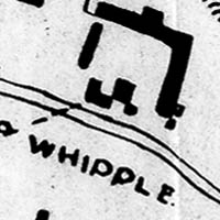
Shows roads and creeks, vegetation, agriculture and hills. Military post is expanded in inset diagram.
Includes table of survey points.
Museum | Archives | Maps |
|