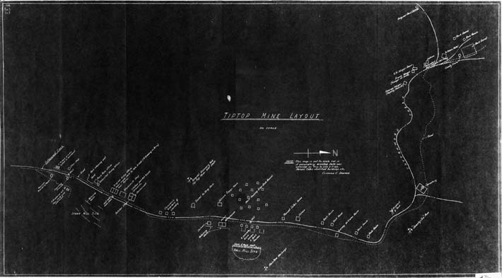
Map 36 - Tiptop Mine Layout
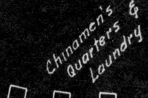
Detail
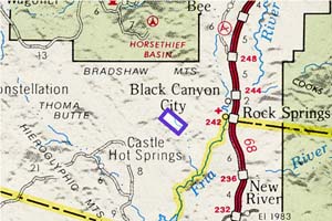
Location
Map 36 - Tiptop Mine Layout |
|
|
|
Detail |
Location |
|
|
Order |
|
| SCALE | c3500 | DATE | 1962 |
|---|---|---|---|
| AUTHOR | Sawyer, Clifford C | PUBLISHER | |
| WIDTH X HEIGHT | 24 x 13 in | FORMAT | Blackprint |
| PIXELS | 7068 x 3850 | RESOLUTION | 300 dpi |
| DIGITAL FILE | map0036.tif | SIZE & COLOR | 26 Mb grayscale |
| ACCESSION NO. | CALL NO. | Map #36 | |
| LOCATION |
"This map is not to scale nor is it accurately oriented"
Map is distorted with west to southwest at top.
It shows Cottonwood Creek, wells, roads, buildings, mines, mill sites and cemetery.
Museum | Archives | Maps |
|