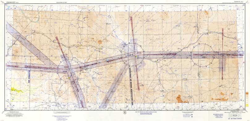
Map 4 -- Prescott R-3 Sectional Aeronautical Chart U.S. Air Force Edition
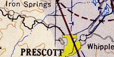
Detail
Location
Map 4 -- Prescott R-3 Sectional Aeronautical Chart U.S. Air Force Edition |
|
|
|
Detail |
Location |
|
|
Order |
|
| SCALE | 500000 | DATE | 1955 |
|---|---|---|---|
| AUTHOR | PUBLISHER | U.S. Coast and Geodetic Survey | |
| WIDTH X HEIGHT | 48 x 23 in. | FORMAT | Color print |
| PIXELS | 14280 x 6896 | RESOLUTION | 300 dpi |
| DIGITAL FILE | map0004.tif | SIZE & COLOR | 285 Mb RGB |
| ACCESSION NO. | CALL NO. | Map #4 | |
| LOCATION |
|
Aeronautical chart, covering 34 to 36 degrees north, 108 to 114 degrees west, showing airports and traffic controlled areas. Base map is topographic with contour coloring, showing roads, railroads, towns. streams and mountains. Back of chart includes legend, airport listing, national index of charts, radio frequencies, pilot instructions and flight rules. |
Museum | Archives | Maps |
|