Map 46 -- Map of the Territory of New Mexico
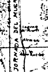
Detail
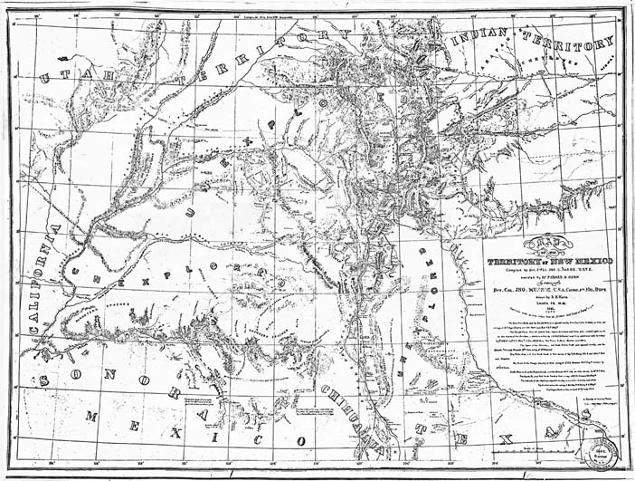
Map 46 -- Map of the Territory of New Mexico |
Detail |
|
|
|
|
Order |
|
| SCALE | 2300000 | DATE | 1851 |
|---|---|---|---|
| AUTHOR | Parke, John G. | PUBLISHER | Corps of Topographical Engineers |
| WIDTH X HEIGHT | 23 x 18 in. | FORMAT | Photocopy |
| PIXELS | 6985 x 5278 | RESOLUTION | 300 dpi |
| DIGITAL FILE | map0046.tif | SIZE & COLOR | 35 Mb grayscale |
| ACCESSION NO. | CALL NO. | Map #46 | |
| LOCATION |
|
Map of the Southwest after acquisition of New Mexico Territory. Largely unexplored, includes pueblos, routes, notes and a list of sources. Details are mostly illegible on this reduced photocopy. An auction site (Oct 2007) gives more information and shows the rich detail of the original. Arizona State Archives and University of Arizona Library list this map in their catalogs. |
Museum | Archives | Maps |
|