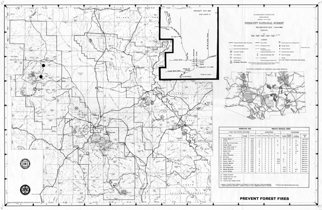
Map 5 -- Prescott National Forest Recreation Map
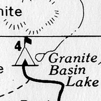
Detail
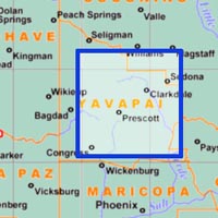
Location
Map 5 -- Prescott National Forest Recreation Map |
Detail |
|
|
|
|
|
Location |
|
|
|
Order |
| SCALE | 253440 | DATE | 1969 |
|---|---|---|---|
| AUTHOR | PUBLISHER | USDA Forest Service | |
| WIDTH X HEIGHT | 32 x 21 in. | FORMAT | |
| PIXELS | 9550 x 6255 | RESOLUTION | 300 dpi |
| DIGITAL FILE | map0005.tif | SIZE & COLOR | 57 Mb grayscale |
| ACCESSION NO. | CALL NO. | Map #5 | |
| LOCATION |
Includes table of recreation sites, inset maps of Prescott and National Forests in Arizona and New Mexico.
Shows township/range coordinates.
Museum | Archives | Maps |
|