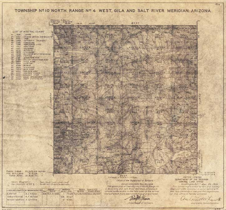
Map 542 -- Township No. 10 North, Range No. 4 West with list of mineral claims
Detail
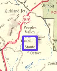
Location
Map 542 -- Township No. 10 North, Range No. 4 West with list of mineral claims |
Detail |
|
|
|
|
Location |
|
|
|
Order |
| SCALE | 31680 | DATE | 1939 |
|---|---|---|---|
| AUTHOR | PUBLISHER | U.S. Department of the Interior | |
| WIDTH X HEIGHT | 18 x 17 in. | FORMAT | |
| PIXELS | 5437 x 5049 | RESOLUTION | 300 dpi |
| DIGITAL FILE | map0542.1.tif | SIZE & COLOR | 79 Mb RGB |
| ACCESSION NO. | CALL NO. | Map #542.1 | |
| LOCATION |
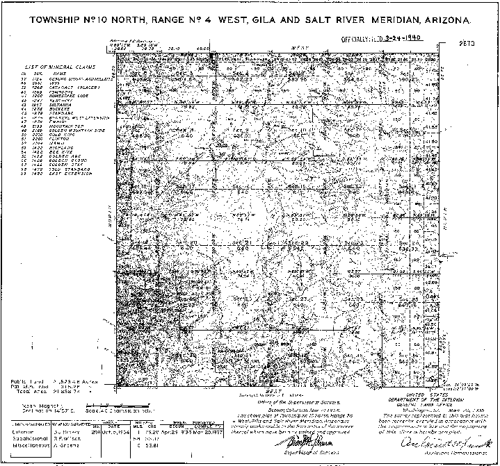
Map 542.2 is an available digital bitmap image which is easier to read |
Detail |
 |
|
 |
|
Order |
| SCALE | DATE | ||
|---|---|---|---|
| AUTHOR | PUBLISHER | ||
| WIDTH X HEIGHT | FORMAT | ||
| PIXELS | 5390 x 5036 | RESOLUTION | 300 dpi |
| DIGITAL FILE | map0542.2.tif | SIZE & COLOR | 3 Mb bitmap |
| ACCESSION NO. | CALL NO. | Map #542.2 | |
| LOCATION |
Note for preparing photo orders: Bitmaps do not convert to .jpg. Use .tif or .gif.
Museum | Archives | Maps |
|