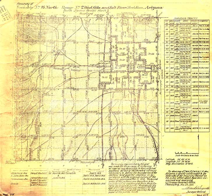
Map 555 -- Township No. 16 North, Range No. 2 West with surveyed tracts
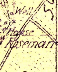
Detail
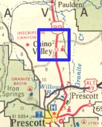
Location
Map 555 -- Township No. 16 North, Range No. 2 West with surveyed tracts |
Detail |
|
|
|
|
Location |
|
|
|
Order |
| SCALE | 31680 | DATE | 1915 |
|---|---|---|---|
| AUTHOR | PUBLISHER | U.S. Surveyor General's Office | |
| WIDTH X HEIGHT | 19 x 17 in. | FORMAT | |
| PIXELS | 5461 x 5033 | RESOLUTION | 300 dpi |
| DIGITAL FILE | map0555.tif | SIZE & COLOR | 79 Mb RGB |
| ACCESSION NO. | CALL NO. | Map #555 | |
| LOCATION |
Resurvey of the Chino Valley area to mark the corner points of tracts.
Museum | Archives | Maps |
|