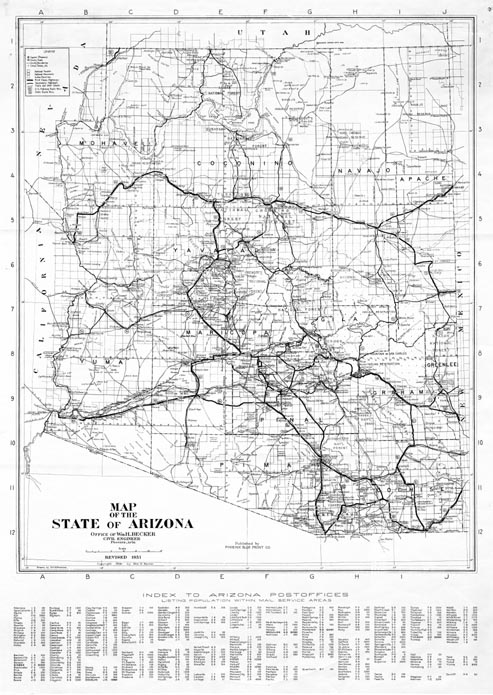
Map 56 -- Map of the State of Arizona
Detail
Map 56 -- Map of the State of Arizona |
Detail |
|
|
|
|
|
|
| SCALE | 754000 | DATE | 1931 |
|---|---|---|---|
| AUTHOR | Peatross, D.M.B. | PUBLISHER | Phoenix Blue Print Co. |
| WIDTH X HEIGHT | 33 x 45 in. | FORMAT | |
| PIXELS | 9856 x 13898 | RESOLUTION | 300 dpi |
| DIGITAL FILE | map0056.tif | SIZE & COLOR | 131 Mb grayscale |
| ACCESSION NO. | CALL NO. | Map #56 | |
| LOCATION |
|
Map of Arizona with an index of Post Offices and populations within mail service areas. Shows roads, railroads, rivers, reservations, forests and townships. |
Museum | Archives | Maps |
|