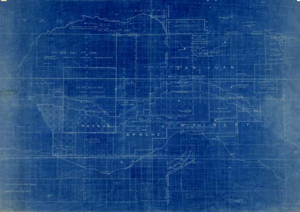
Map 57 -- Indian reservations and railroad lands of Colorado Plateau
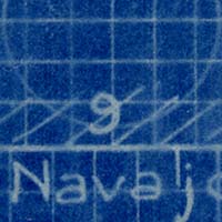
Detail
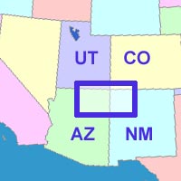
Location
Map 57 -- Indian reservations and railroad lands of Colorado Plateau |
Detail |
|
|
|
|
Location |
|
|
|
Order |
| SCALE | 524000 | DATE | c.1930 |
|---|---|---|---|
| AUTHOR | PUBLISHER | ||
| WIDTH X HEIGHT | 40 x 28 in. | FORMAT | Blueprint |
| PIXELS | 11709 x 8283 | RESOLUTION | 300 dpi |
| DIGITAL FILE | map0057.tif | SIZE & COLOR | 278 Mb RGB |
| ACCESSION NO. | CALL NO. | Map #57 | |
| LOCATION |
|
Map shows treaty dates and boundaries of lands distributed to railroads
and indian tribes. Includes railroads, schools and townships. |
Museum | Archives | Maps |
|