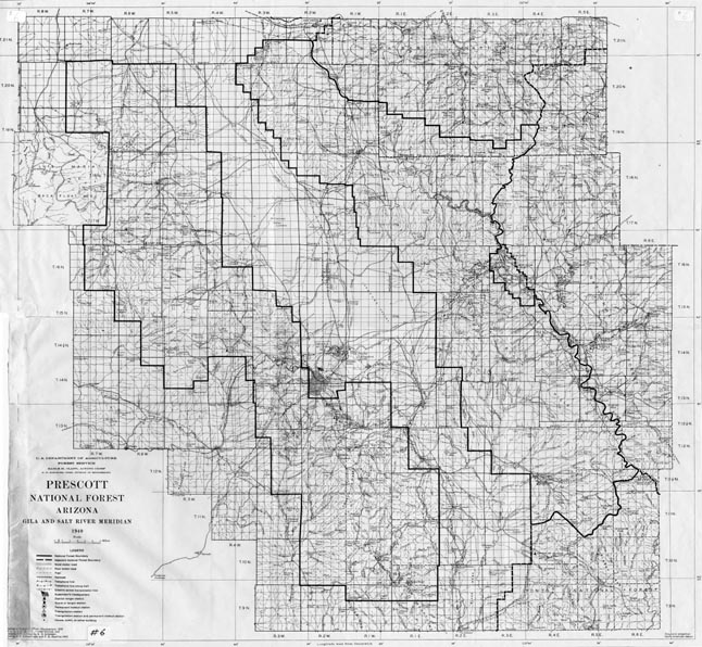
Map 6 -- Prescott National Forest
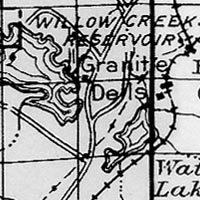
Detail
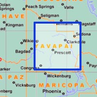
Location
Map 6 -- Prescott National Forest |
Detail |
|
|
|
|
|
Location |
|
|
|
Order |
| SCALE | 253440 | DATE | 1939/1940 |
|---|---|---|---|
| AUTHOR | PUBLISHER | USDA Forest Service | |
| WIDTH X HEIGHT | 23 x 21 in. | FORMAT | |
| PIXELS | 6910 x 6405 | RESOLUTION | 300 dpi |
| DIGITAL FILE | map0006.tif | SIZE & COLOR | 42 Mb grayscale |
| ACCESSION NO. | CALL NO. | Map #6 | |
| LOCATION |
|
Includes roads, streams, trails and telephone lines. Shows township, range and sections. See also Map#88 1938 Prescott National Forest. Map#805 1945 Prescott National Forest. Map#835 1934 Prescott National Forest. |
Museum | Archives | Maps |
|