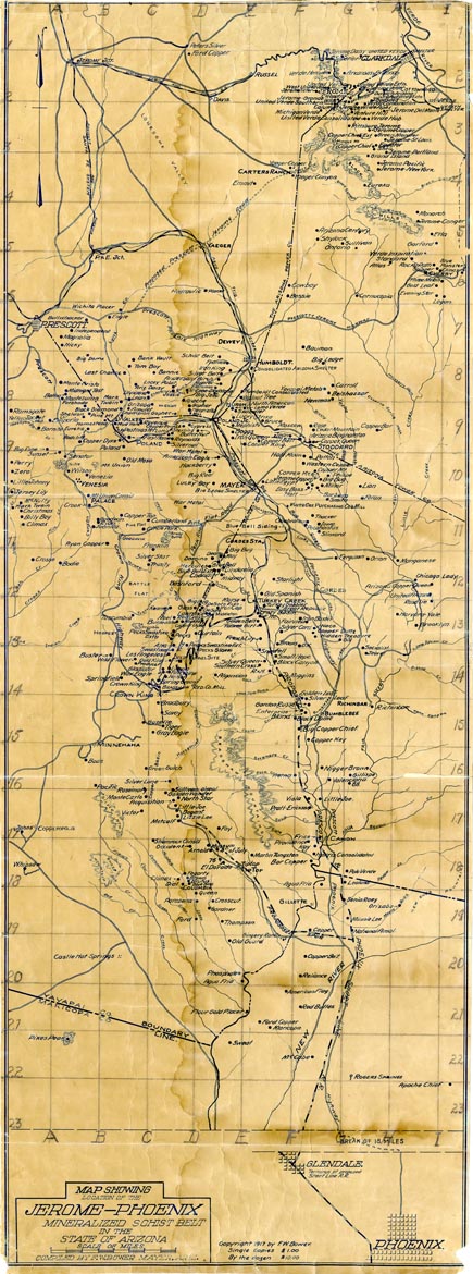
Map 601 -- Map showing location of the Jerome-Phoenix mineralized schist belt in the State of Arizona
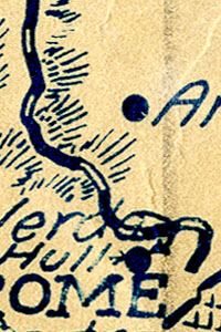
Detail
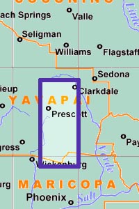
Location
Map 601 -- Map showing location of the Jerome-Phoenix mineralized schist belt in the State of Arizona |
Detail |
|
|
|
|
Location |
|
|
|
Order |
| SCALE | 126720 | DATE | 1917 |
|---|---|---|---|
| AUTHOR | F.W. Bower | PUBLISHER | F.W. Bower |
| WIDTH X HEIGHT | 15 x 40 in. | FORMAT | |
| PIXELS | 4354 x 11696 | RESOLUTION | 300 dpi |
| DIGITAL FILE | map0601.1.tif | SIZE & COLOR | 146 Mb RGB |
| ACCESSION NO. | CALL NO. | Map #601.1 | |
| LOCATION |
Map includes mines, roads, railroads, rivers, creeks and springs.
We have three versions of this map.
Map #601.2 is a blueprint with more prominent mine names.
Map #601.3 is a smaller 9 x 22 in. copy adapted for publication.
All three have been digitized.
Museum | Archives | Maps |
|