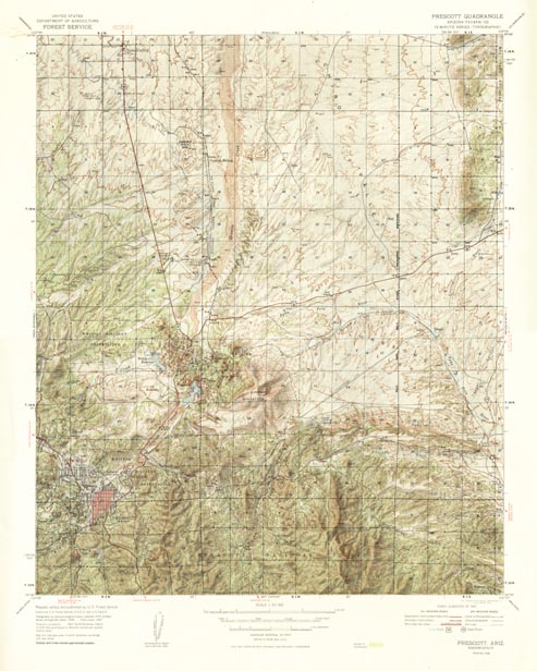
Map 64.029 -- Prescott (shaded relief)
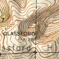
Detail


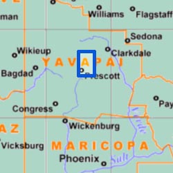
Location

Map 64.029 -- Prescott (shaded relief) |
Detail |
 |
|
 |
|
Location |
|
 |
|
Order |
| SCALE | 63360 | DATE | 1948 |
|---|---|---|---|
| AUTHOR | U.S. Forest Service | PUBLISHER | U.S. Forest Service |
| WIDTH X HEIGHT | 18 x 22 in. | FORMAT | Color |
| PIXELS | 4933 x 6164 | RESOLUTION | 300 dpi |
| DIGITAL FILE | map0064.029.tif | SIZE & COLOR | 87 Mb RGB |
| ACCESSION NO. | CALL NO. | Map #64-29 | |
| LOCATION |
|
Prescott 15' topo quad with shaded relief, contours and forest tint. Shows roads, railroads, mines, utility lines and Prescott National Forest. Contour interval 50 feet. |
Museum | Archives | Maps |
|