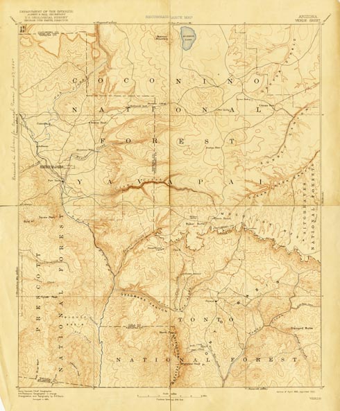
Map 64.040 -- Verde
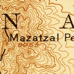
Detail
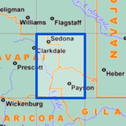
Location
Map 64.040 -- Verde |
Detail |
|
|
|
|
Location |
|
|
|
Order |
| SCALE | 250000 | DATE | 1892/1922 |
|---|---|---|---|
| AUTHOR | Henry Gannett | PUBLISHER | U.S. Geological Survey |
| WIDTH X HEIGHT | 16 x 20 in. | FORMAT | Color |
| PIXELS | 4897 x 5932 | RESOLUTION | 300 dpi |
| DIGITAL FILE | map0064.040.tif | SIZE & COLOR | 83 Mb RGB |
| ACCESSION NO. | CALL NO. | Map #64-40 | |
| LOCATION |
|
Verde 1 degree reconnaissance quad showing roads, mountains, streams and National Forests. Includes Oak Creek, Verde River, Mormon Lake, Fort Verde, Cornville, Strawberry, Pine and Payson. Contour interval 200 feet. |
Museum | Archives | Maps |
|