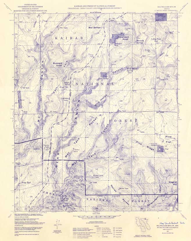
Map 64.146 -- Bill Williams Mtn. S.W. (Forest Service)
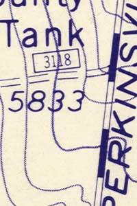
Detail
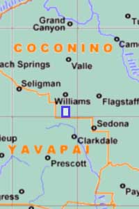
Location
Map 64.146 -- Bill Williams Mtn. S.W. (Forest Service) |
Detail |
|
|
|
|
Location |
|
|
|
Order |
| SCALE | 24000 | DATE | 1962 |
|---|---|---|---|
| AUTHOR | PUBLISHER | U.S. Forest Service | |
| WIDTH X HEIGHT | 24 x 30 in. | FORMAT | |
| PIXELS | 6574 x 8301 | RESOLUTION | 300 dpi |
| DIGITAL FILE | map0064.146.tif | SIZE & COLOR | 156 Mb grayscale |
| ACCESSION NO. | CALL NO. | Map #64-146 | |
| LOCATION |
|
Based on USGS May Tank Pocket 1:24000 topo. Private land is shaded. National Forest road and trail numbers are shown.
|
Museum | Archives | Maps |
|