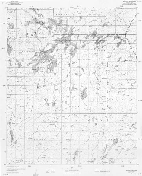
Map 64.343 -- Mt. Union
Forest Service A-225
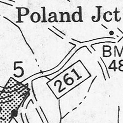
Detail
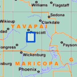
Location
Map 64.343 -- Mt. UnionForest Service A-225 |
Detail |
|
|
|
|
Location |
|
|
|
Order |
| SCALE | 31680 | DATE | 1970 |
|---|---|---|---|
| AUTHOR | PUBLISHER | U.S. Forest Service | |
| WIDTH X HEIGHT | 31 x 39 in. | FORMAT | |
| PIXELS | 9413 x 11658 | RESOLUTION | 300 dpi |
| DIGITAL FILE | map0064.343.tif | SIZE & COLOR | 105 Mb grayscale |
| ACCESSION NO. | CALL NO. | Map #64-343 | |
| LOCATION |
|
Mt. Union 15' quad based on USGS 1948 1:63360 topo with contours removed. Private land is shaded. Prescott National Forest road and trail numbers are shown.
|
Museum | Archives | Maps |
|