Map 67 -- Topographic Map of the State of Arizona
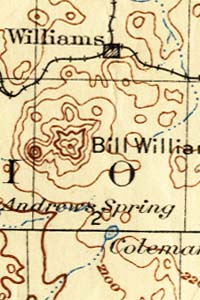
Detail
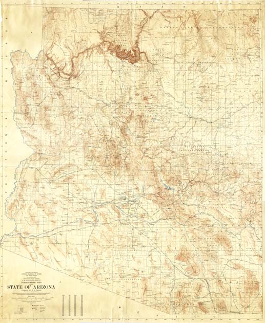
Map 67 -- Topographic Map of the State of Arizona |
Detail |
|
|
|
|
Order |
|
| SCALE | 500000 | DATE | 1923 |
|---|---|---|---|
| AUTHOR | Darton, N.H. | PUBLISHER | Arizona Bureau of Mines |
| WIDTH X HEIGHT | 43 x 53 in. | FORMAT | Color |
| PIXELS | 8624 x 10460 | RESOLUTION | 200 dpi |
| DIGITAL FILE | map0067.tif | SIZE & COLOR | 258 Mb RGB |
| ACCESSION NO. | CALL NO. | Map #67 | |
| LOCATION | Hanging |
|
Produced in cooperation with U.S. Geological Survey. Contour interval 100 meters. Shows railroads but not roads. Shows township/range, Indian reservations, national forests, towns and wells. |
Museum | Archives | Maps |
|