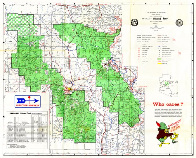
Map 72 -- Prescott National Forest Recreation Map
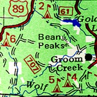
Detail
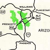
Location
Map 72 -- Prescott National Forest Recreation Map |
Detail |
|
|
|
|
Location |
|
|
|
Order |
| SCALE | 253000 | DATE | 1972 |
|---|---|---|---|
| AUTHOR | PUBLISHER | USDA Forest Service | |
| WIDTH X HEIGHT | 27 x 22 in. | FORMAT | Color with b/w reverse |
| PIXELS | 5367 x 4308 | RESOLUTION | 300 dpi |
| DIGITAL FILE | map0072.tif | SIZE & COLOR | 66 Mb RGB |
| ACCESSION NO. | CALL NO. | Map #72 | |
| LOCATION |
Shows roads, recreation and camping details.
Description and photos on map0072(reverse).tif below.
.jpg)
Museum | Archives | Maps |
|