Map 75 -- United States Showing Routes of Principal Explorers
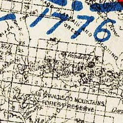
Detail
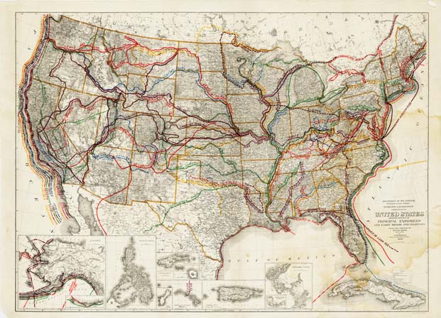
Map 75 -- United States Showing Routes of Principal Explorers |
Detail |
|
|
|
|
Order |
| SCALE | 6000000 | DATE | 1908 |
|---|---|---|---|
| AUTHOR | PUBLISHER | Department of Interior | |
| WIDTH X HEIGHT | 34 x 25 in. | FORMAT | color |
| PIXELS | 10353 x 7462 | RESOLUTION | 300 dpi |
| DIGITAL FILE | map0075.tif | SIZE & COLOR | 221Mb RGB |
| ACCESSION NO. | CALL NO. | Map #75 | |
| LOCATION |
|
Includes insets of Alaska, Philippines, Samoa, Guam, Hawaii, Puerto Rico and Panama. Cuba is shown on the main map.
|
Museum | Archives | Maps |
|