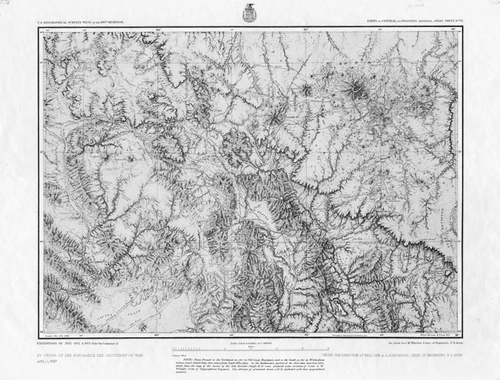
Map 754 - Parts of Central and Western Arizona
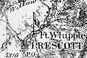
Detail
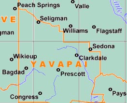
Mapped Area
Map 754 - Parts of Central and Western Arizona |
|
|
|
Detail |
Mapped Area |
|
|
Order |
|
| SCALE | 506880 | DATE | 1876 |
|---|---|---|---|
| AUTHOR | Weyss Herman & Lang Del | PUBLISHER | U.S. Army Corps of Engineers |
| WIDTH X HEIGHT | 24 x 19 in. | FORMAT | |
| PIXELS | 7154 x 5442 | RESOLUTION | 300 dpi |
| DIGITAL FILE | map0754.tif | SIZE & COLOR | 37 Mb grayscale |
| ACCESSION NO. | CALL NO. | Map #754 | |
| LOCATION |
|
Relief map from Corps of Engineers expeditions 1871-73, covering the Wickenburg to Flagstaff area. |
Museum | Archives | Maps |
|